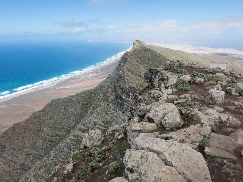
We’re currently vacationing on Fuerteventura. I set out once more to ascend the island highpoint, Pico de la Zarza (807m) – for the third time on our third stay on the island.
I parked my rental car just off the roundabout on the FV-2 highway. This is the start of the main Strava segment, and also the most logical point to start the hike since on the other side of the road there’s only the beach and not much elevation change. From the roundabout, a side road goes up quite steeply to a large hotel complex. This 200m climb on a sidewalk is shared with tourists returning from the shops or the beach. A runner gets funny looks, because regular tourists at this hotel have probably grown to hate this incline that is between their leisurely day at the beach and eating and drinking themselves silly at the buffet.
On the first intersection I turned left and followed the road past the large hotel. After about 900m, I left paved ground and started following a rocky dirt road on the right. At this point a few cars of hikers or runners that didn’t want to climb the initial 50m of elevation on pavement were parked.
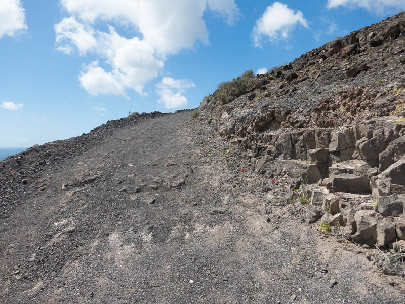
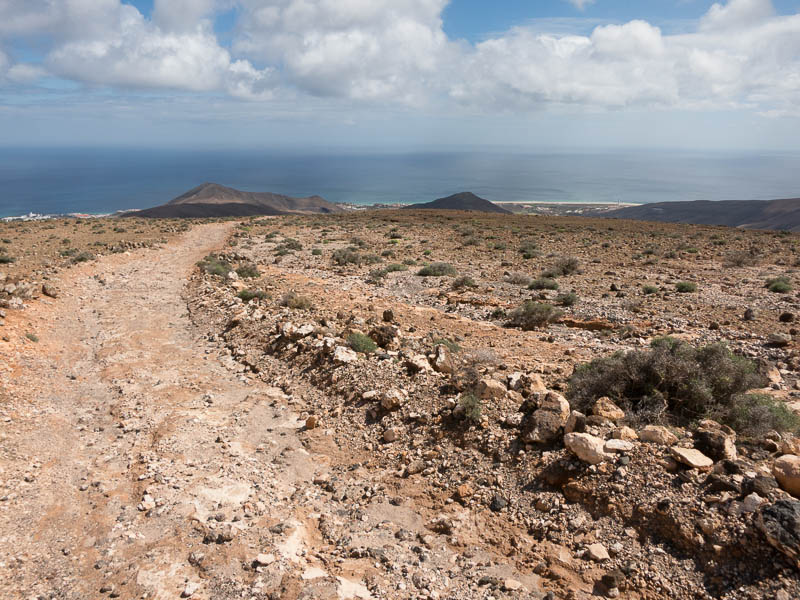
From here on, there would be no more intersections. The road got steeper over the course of the next kilometer on crushed black rocks. 2km into the climb, the first 200m of elevation were behind me. I was already feeling quite thirsty – on the entire climb there’s no shade, and the mid-day sun was beating down.
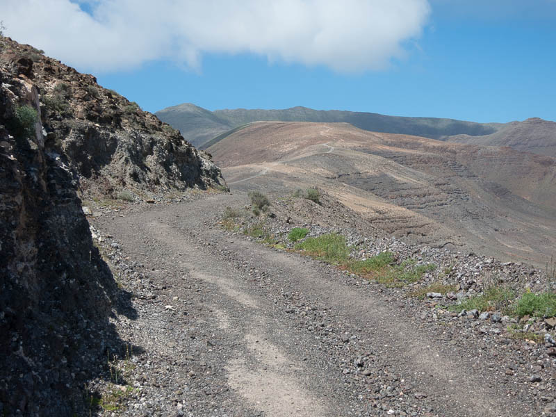
Next up is a short downhill, during which the entire rest of the trail comes into view. The good news (?) is that it’s all uphill. Unfortunately, there was a strong headwind that made fast forward progress quite hard.
I walked more often than I ran – basically, at this point in time with my fitness being the way it is, I can’t run any strong incline without may heart rate going into unsustainable regions above 170 beats.
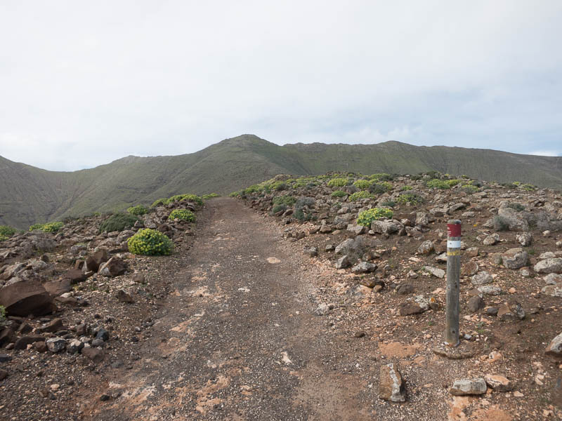
Nevertheless, I was making reasonable progress. From km2 to abou km5.5, the trail is mostly a rough Jeep track. At that point, the road levels from a while and there starts to be some plant life. The ground is softer as well, and I could see a few muddy spots, testament to the rain that we had seen the past two days.
At km6, the final climb starts. At first, there’s still a wide track, which gradually narrows. At the beginning of the narrower switchbacks, I was now 1 hour into the climb. Up to here, I had covered about 680m of elevation (according to the realtime data on my Garmin).
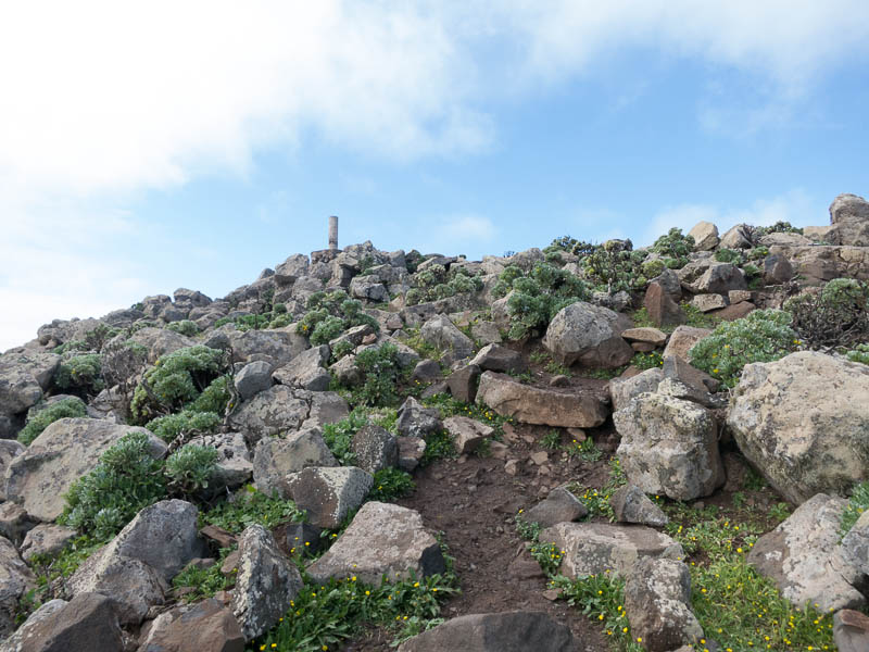
The remainder of the climb turned out to be slower than expected, because the track had become quite muddy. Combined with the irregular rocky steps, this made for more work than I had expected. I made it to the top in 1 hour 14 minutes, pretty much the time I had anticipated.
Since I’d already been there twice, I only spent a little time at the peak and then turned around. From here on out, I was able to run most of the way down. Pain in my achilles and a lack of large-scale downhill running made me wary of powering down the mountain, so my “run” entailed quite a lot of braking for a pace of only around 6-7 minutes per km.
Strava recorded a total segment time (up and down) of 2 hours 8 minutes; 855m of elevation change and 14.8km of total distance.
Given my lack of regular training, the high wind and comparatively warm temperatures, I’m quite happy with the time, even though there’s still a lot of potential for improvement.
In light of my upcoming goal (the KMV in Chamonix), being able to cover slightly less than 700m of elevation in one hour is encouraging; especially since that amount of climbing took place over more than 6km; whereas Chamonix only has half of that for the equivalent vertical. At the same time, I’m more than a little concerned by my achilles troubles and the way the left foot felt the day after this climb.
One Comment Add yours